I started the day in Port Macquarie. I had to wait for the supermarket to open, so I had a nice breakfast of fruit and yoghurt.

I then did a little tour of the town.


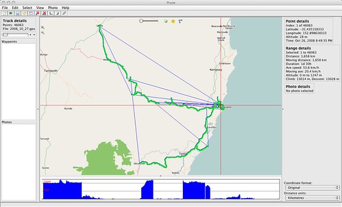
I then headed across the water on the ferry. However, my reading of the map turned out to be wrong and the only road out was dirt and lead 80km further north than I wanted to travel. So I headed back across the ferry (the one way price was $2.50) and then inland.


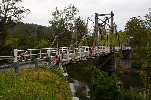
On the map, it said, historic bridge. So I stopped to have a look. I have not seen a bridge like it in Australia. It was a very interesting suspension bridge made of wood and steel wire.


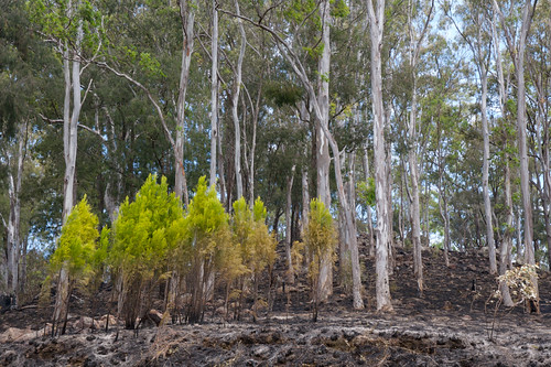
Continuing to head up to the New England Plateau, I came across an area by the side of the road that had been recently burned. Some of the logs were still smouldering and I was quickly covered in ash.


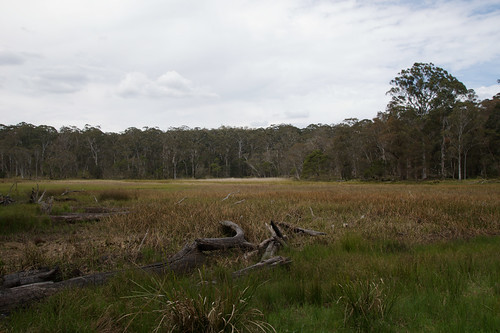
As I continued up the Hastings river valley I made a few stops and short side trips.


Continuing, I saw a sign to a camp-site and thought it would be good to stop to have a look.
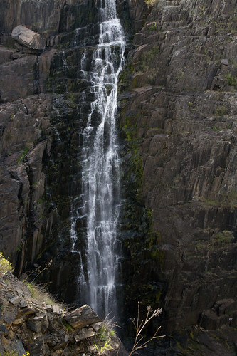
Then I was into waterfall country, the end of the Plateau, and visited Tia Falls and Aspely Falls.


As the day drew to an end, I decided to stop at Uralla rather than push through to Armidale.